


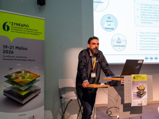


Title of the project:
Implementation area:
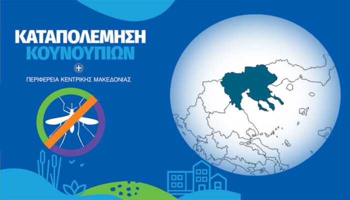
Coastal wetlands and ricefields in the Region of Central Macedonia
The aim of the proposed research project is to create an easy-to-use service for monitoring the hydrological and qualitative characteristics of surface water, based on the capabilities of radar-focused satellite remote sensing (SAR), which will help optimize applications to surfaces made in mosquito control projects, with the ultimate goal of the more rational use of pesticides on water surfaces.
The methodology includes remote sensing and digital image processing techniques developed by the Aristotle University of Thessaloniki and applied by Ecodevelopment SA, to improve the operational conditions for mosquito control projects and to reduce spraying on water surfaces, utilizing new technologies and available easy-to-use satellite data. The developed methods contribute to the mapping of aquatic habitats of mosquito habitats, capitalizing on the high spatial resolution and dense monitoring capabilities offered by the new European Sentinel satellites. The desired characteristics are the following:
- Periodicity: Maps of possible mosquito breeding grounds are consistently available in 5-day increments. The availability step is determined by the periodicity that characterizes the simultaneous use of Sentinel-1 and Sentinel-2 data (European Space Agency)
- Clarity: The maps distinguish the flooded areas with vegetation, from those in which there is no vegetation and the results are compared with the ecological mapping and typology of mosquito breeding grounds carried out by Ecodevelopment in> 50% of the country’s wetlands (Ecodevelopment SA, 2012)
- Accuracy: The maps include all potential water collections (even those that based on the spatial capacity offered by Sentinel data (10 m), have areas smaller than 100 sq.m.
The experimental design of the methodology included the following:
- Use at least 100 field data points for each class. Of these, 70% are used to train the automated algorithm and 30% to evaluate its accuracy.
- Water quality measurements (temperature, oxygen content, electrical conductivity, pH).
- Utilization of the available field data (water presence, habitats, larval density, etc.) that exist in the Ecodevelopment archive for the last 3 years, in order to enhance the reliability of the algorithms in different hydrological and meteorological conditions.
- Download new satellite images and field data for the years 2018 and 2019 to confirm the methodology and the original tool.