


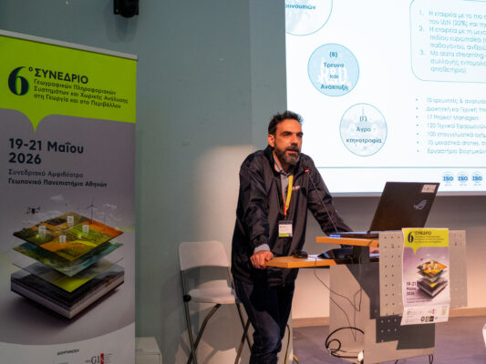


Technology provides great possibilities in terms of collection, analysis, visualization and publication of data and products. The skills that have been acquired in recent years by the data analysis department of Ecodevelopment at a level of GIS and IT allow us to build relatively quickly and easily platforms for the promotion of our services and products. Below are briefly presented two main examples of how the platforms serve us and will serve us in various ways in the near future.
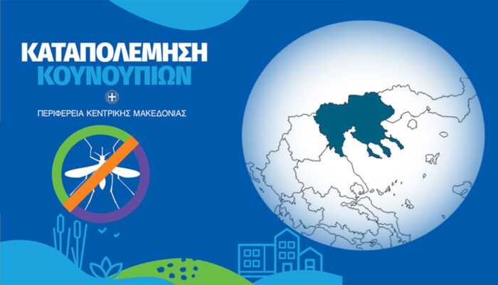
1. Within the framework of the research project “Mosquito Vision” (2021-2023), under the funding of the Region of Central Macedonia, we deliver within days a platform with integration every 5-6 days of selected indicators/satellite images, five-day weather forecast (daily), at a 2x2km resolution, environmental indicators (NDVI, NDWI), projection of land uses and topographical data, prediction of the presence of surface water in a time step of five days as well as the results of a five-day forecast of mosquito abundance at settlement level.
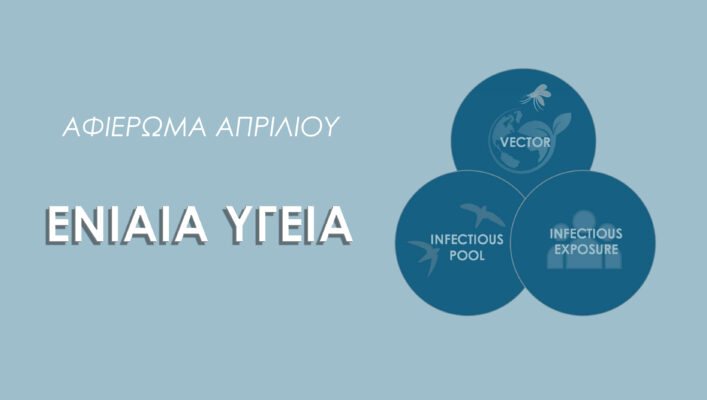
2. The operation of an entomological hub was decided recently, in February 2023, within the board of directors of the EMCA (European Mosquito Control Association). Within this hub, we will upload 15 years of data from the three most important mosquito control organizations – KABS (Germany), EID Med (France) and Ecodevelopment. Ecodevelopment will be responsible for the hosting of this data, with an ultimate goal of highlighting and sharing this data under specific rules for the protection of data providers and the use of this data and any products deriving from them.
Notably, there are over 200 international operational platforms on environmental issues and much less on mosquito-related epidemics, and our ultimate goal is to connect with some of them in order to provide time series data, forecasts or other products in the near future.