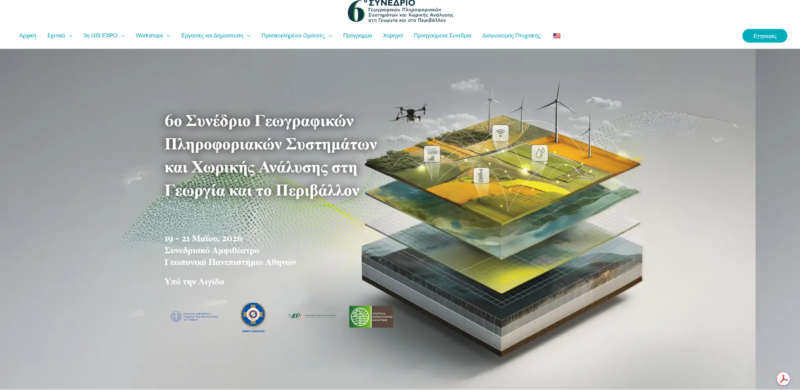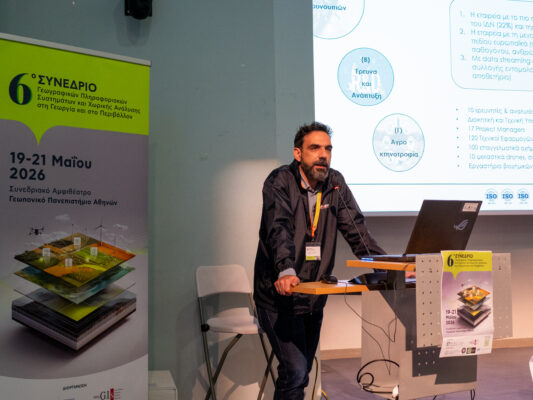


Ecodevelopment S.A. made a particularly strong showing at the 6th GIS Conference, held on May 19–21, 2026, at the Agricultural University of Athens, serving in the dual role of sponsor and speaker, with a presentation by Nikos Perros, Director of Southern Greece at Ecodevelopment, on the large-scale interoperable GIS applications used by the company.
By definition, integrated GIS applications combine geospatial data with analytical tools to optimize decision-making processes across various sectors. Thus, Oikodysia applies this approach in practice to large-scale mosquito control projects it carries out across 40% of the country, and on a smaller scale to precision agriculture, livestock farming, and the research projects it implements.
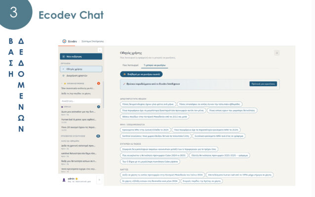
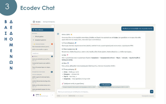
The presentation highlighted the eight technological systems upon which this architecture is based: 1. Data collection, 2. Data flows, 3. Database, 4. Digital Toolkit, 5. Decision Support Systems (DSS), 6. Application (Translation/Verification), 7. Communication, and 8. Digital Twin.
At the same time, regarding the fourth technological system—namely, the Eco-Development digital toolkit—a model for predicting epidemiological risk related to bluetongue (livestock farming) was presented. As an application environment (technological system 6), the example of fertilizer advice in rice fields in Thessaloniki (precision agriculture) was presented; and finally, regarding the digital twin, reference was made to the research project ebite Next (Research and Innovation-I) project, which Oikoanaptyxi is implementing from 2026 to 2028, aimed at transitioning from the descriptive and predictive models currently in use to guidance systems.
Ecodevelopment’s participation in the 6th GIS Conference reaffirmed its leading role in the utilization of geospatial technologies and artificial intelligence, highlighting the potential of interoperable GIS applications as a critical tool for addressing complex challenges in public health, agriculture, and livestock farming.