


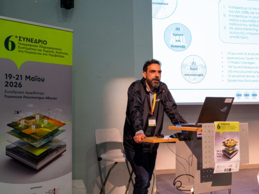


Speaker at the workshop of the 15th OTS Forum, entitled “Digital Strategy for Local Government in Greece with a milestone in 2030” was the elected Governor of Thessaly Dimitris Kouretas. Mr. Kouretas spoke about the use of new technologies for the proper practice of cultivation and harvesting of agricultural products, developing the example of Keraseonas in Pella.
In his presentation, the new regional governor stressed that the use of new technologies and infrastructure of “smart agriculture” can contribute to increasing the added value of agricultural products, making them competitive in the global environment and thus opening new paths in the development of the primary sector. More specifically, Mr Kouretas presented the example of the cherry orchards in the prefecture of Pella, where digital images from unmanned aerial vehicles (drone) make it possible to determine the quality characteristics of the cherries long before harvesting and without fruit sampling, which ultimately lead to the formation of quality cultivation zones.
The above possibility was explored and confirmed by the CheRemote research project, coordinated by Ecodevelopment, during the period 2019-2021 and completed successfully, within the framework of the Single Action for State Aid for Research, Technological Development & Innovation (Research – Create – Innovate). The project was piloted on 500 hectares of cherry orchards (both in mountainous and lowland areas) in the prefecture of Pella, where 55% of the country’s cherry trees are cultivated. The plots were representative of the varieties and cultural practices of the region.
By combining remote sensing technologies with agronomic and laboratory methods, the project was successful:
A) To identify in a timely manner zones, parcels, and/or clusters of trees with fruits that have the optimal antioxidant content, in order to optimize harvest management and high value-added products.
B) To identify in good time zones, parcels, and/or clusters of trees entering the ripening phase, so that plant protection can be carried out in a timely and targeted manner.
The multi-spectral data (from unmanned volatile instruments) were entered into a geodatabase (GIS) in which topographic, crop, soil, climatological and entomological data were then integrated, as well as fruit ripening parameters such as abscisic acid, carotenoids and polyphenols total soluble solids, hardness and flesh acidity, and antioxidant capacity. The results were analysed using modern methods of geospatial analysis and artificial intelligence in order to formulate relatively homogeneous management zones at different scales (areas, plots, varieties and trees), from which the final ripening zones were formed.
The findings of the project have been published in the prestigious international journal Antioxidants (MDPI): https://www.mdpi.com/2076-3921/9/2/156 (free access).
You can find the workoshop agenda here.